Hiking in January
As published in January 2015 Connections
By Shelly Hawkins, Crofton Springs Neighborhood
“Not until we are lost do we begin to understand ourselves.” Henry David Thoreau (American author, philosopher, naturalist)
On the day before Thanksgiving, I was walking my one-year-old Corgi (Robin) through Central Park when we encountered a delightful woman and her adorable dog. After the humans and pets greeted each other, the woman asked if I had ever hiked on the Issaquah Highlands wooded trails. I indicated that I had and as a matter of fact, my husband (Chris) was currently hiking on the Grand Ridge trails with our 12-year-old Corgi (Tuck).
The woman went on to explain that she recently got terribly lost hiking on the Grand Ridge trails. I said this wasn’t surprising, because the trails aren’t marked. As a matter of fact, few trails in Washington State have marks (or “blazes”) indicating which way to go. I grew up hiking on the East Coast where different trails are denoted by colored blazes on trees or boulders. Sometimes metal, plastic, or wooden markers are used; even cairns (piles of stones). Despite the lack of blazes on our trails, I told the woman not to worry. January’s issue of Connections (which you are now reading) contains a link to a map of the Grand Ridge trail system and a description of one of the hikes.
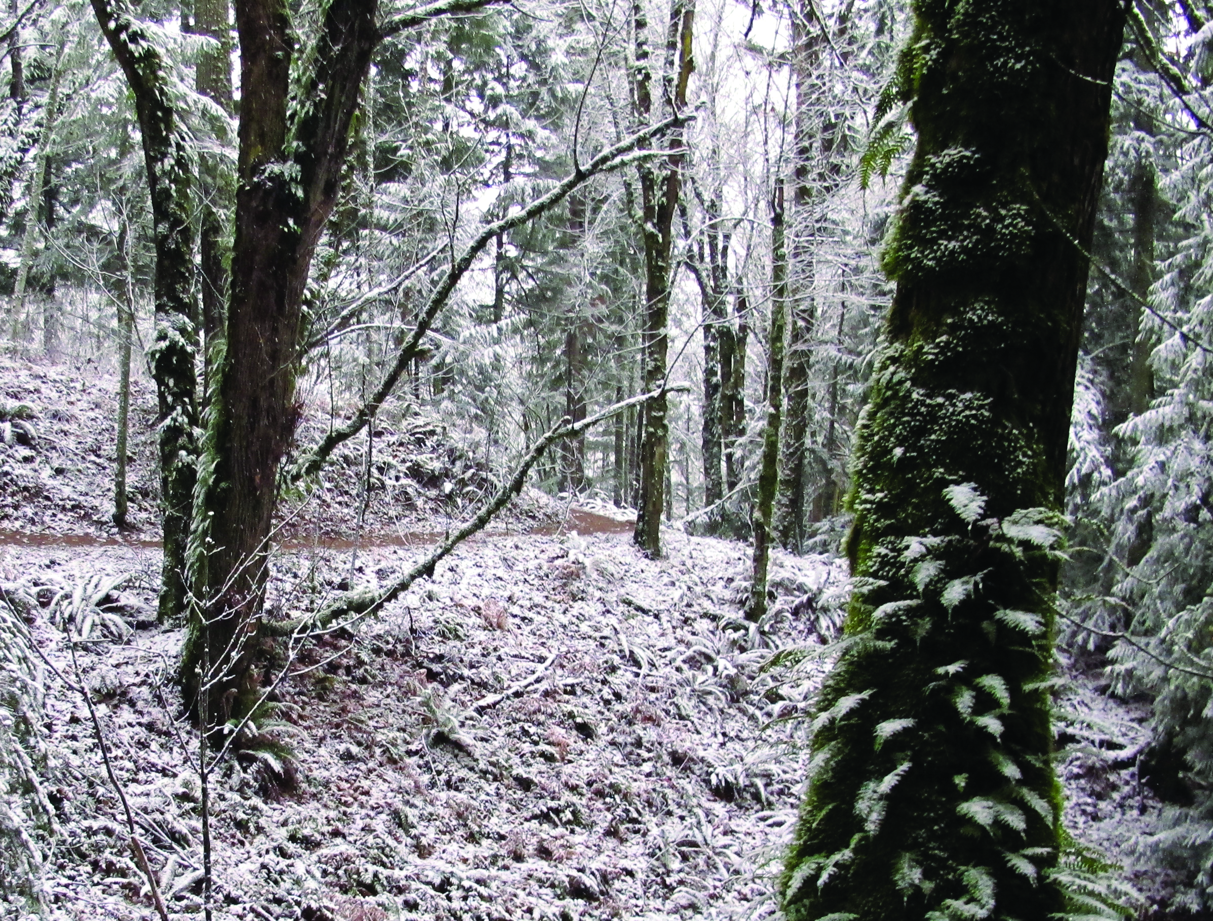
The Grand Ridge woods are a mix of evergreen a deciduous trees. Although you won’t get to see any wildflowers in January, the moss and lichen are thick at this time of year, adding a magical atmosphere to the woods. Now that the deciduous trees have dropped their leaves, you’ll get fleeting views of the Issaquah Alps off in the distance. What I especially like about the Grand Ridge trail system (in addition to its being close to home) is that the trails are so well constructed, you can hike them in even the worst weather without getting mired in mud. If it’s icy, however, you might want to take a hiking stick with you to help avoid any tumbles.
January’s hike is a continuation of December’s hike to the South Pond, where you encountered the entrance to the Grand Ridge trail system at the south end of South Pond.
Directions:
1. Either walk or drive to Central Park’s tennis courts.
2. Follow the path to the left of the tennis courts to the Grand Ridge trailhead (at south end of South Pond) = 0.36 miles
3. Follow the trail from the trailhead to the first fork and turn right = 0.06 miles
4. Follow the trail to the second fork and turn right (0.31 miles)
5. Follow the trail down to the Power line trail junction and turn right (0.23 miles)
5. Follow the Power line trail and turn right up the side path the soccer field (0.07 miles)
6. Turn left and walk across the parking lot to the tennis courts = 0.28 miles
Total = 1.31 miles
Happy Hiking!


